Backpacking with Andrew Skurka in Sequoia-Kings Canyon
In late September 2018 I went on a backpacking trip with Andrew Skurka, Justin Simoni and 7 other guys looking for a hiking adventure (which is distinct from a camping adventure). Andrew Skurka's trips cater to the hiking first, walk all day preference that we all sought. We'd typically walk until close to dusk, make dinner and then finish setting up camp in the dark. Of course any of us could have planned our own hiking centric backpacking trip in the Sierra, but a Skurka trip offers one more lure: off-trail travel. This was new for me as I'd really only spent time on hiking trails prior to this. On this trip we would spend the majority of our time navigating trailless wilderness in the High Sierra by following lines of our own choosing across the alpine landscape. We stepped off the trail early on day 2 and wouldn't set foot on trail again until the last couple of hours of the trip. We saw no one the whole time we were off-trail.
There's more commentary at the end, but let's look at some pictures first...
-
Gotta go higher.
-
Things got dramatic quickly on day 2.
-
Valhalla along the High Sierra Trail.
-
The trail was blasted into existence (back in the CCC days) with dynamite in this section.
-
This is where we left the trail on day 2. For the next 3 days you just walked the line you thought would get you to your next visible goal.
-
Goodbye trees.
-
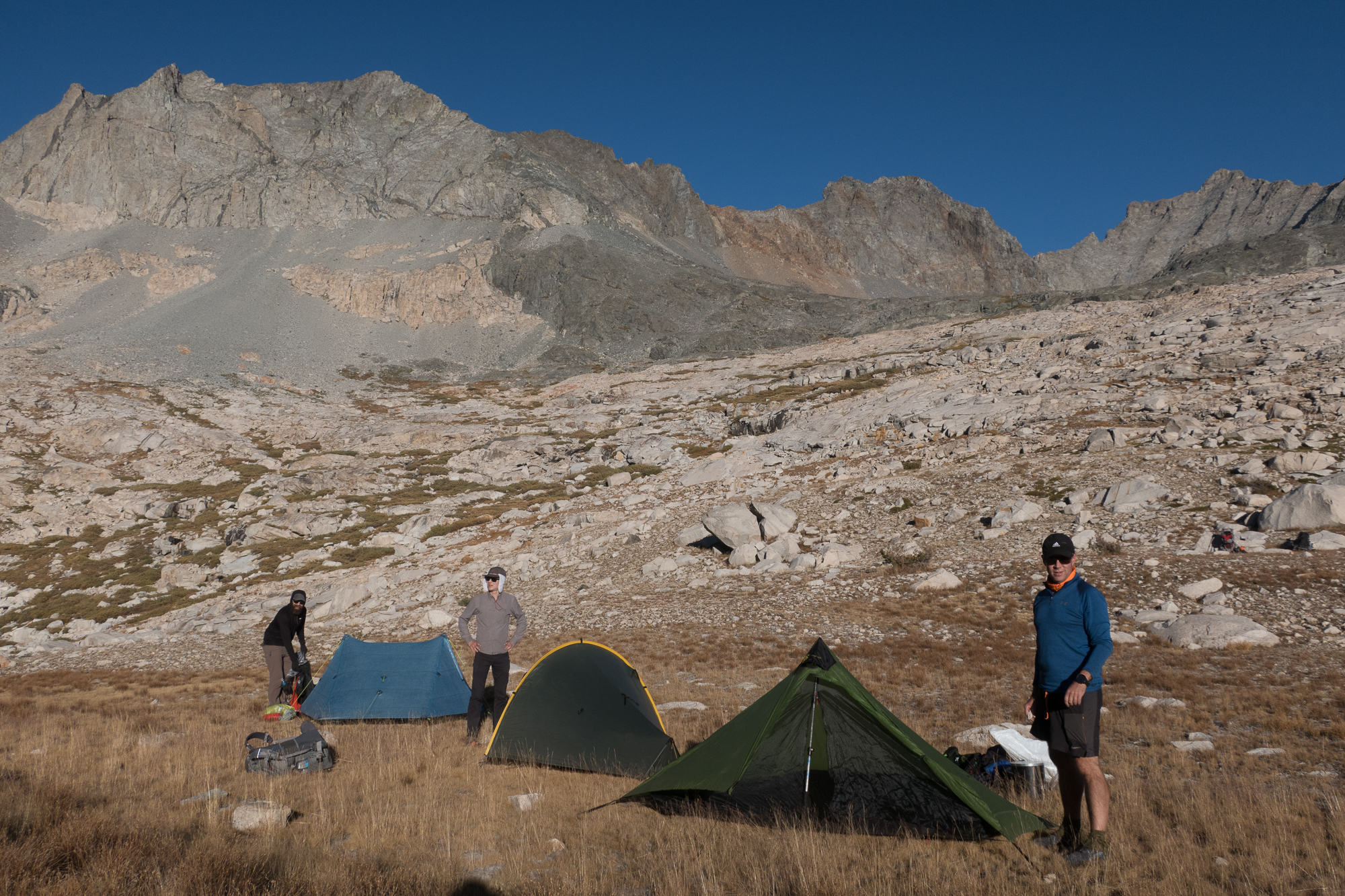
The Sierra sun is intense even in September, so we all look like nerds with our neck dangle thingies.
-
![]()
Photo via Andrew Skurka.
-
![]()
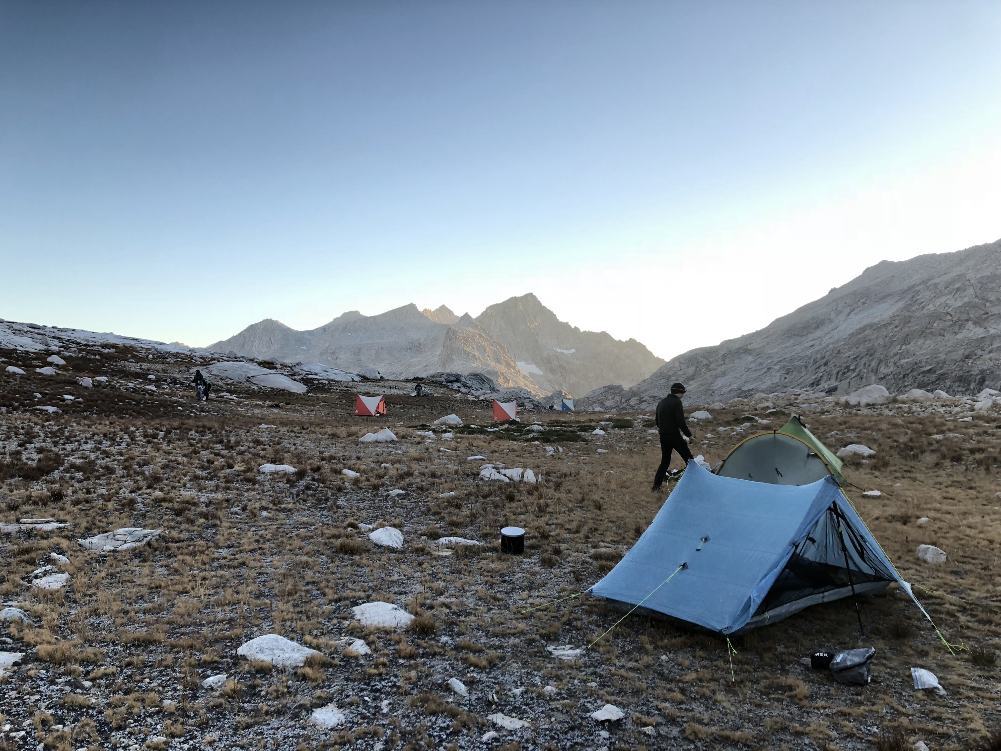
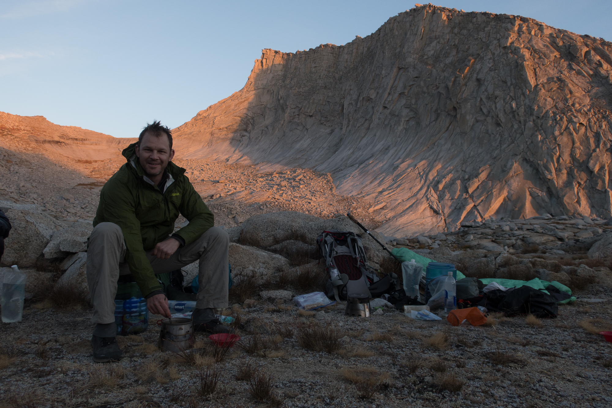
Me finishing camp setup on day 2. It got down to 30F that night and that was pushing it for the sleep system I was using (despite having a 20F sleeping bag). I need a warmer sleeping pad next time. Photo via Hunter Hall.
-
Breaking camp the next morning in the cold before heading up into those mountains behind the lake.
-
Walking up to the edge.
-
And looking over the other side.
-
Our first of 4 passes on day 3.
-
Andrew (on the right) takes notes at virtually every break. He's constantly gathering and revising data for this and other routes.
-
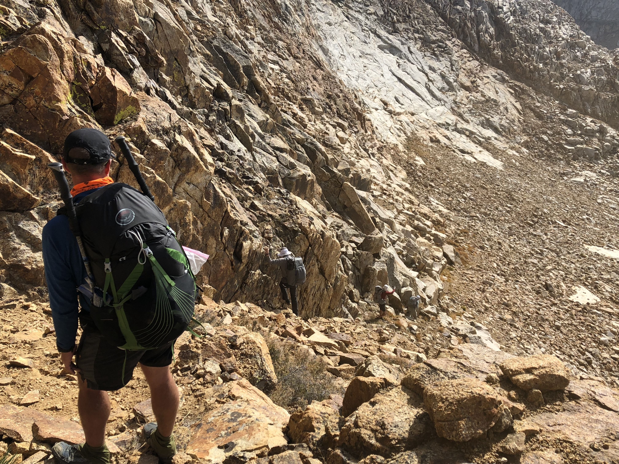
We gotta go down that. This was one of two class 3 descents on the trip. They were definitely a little scary but still very doable.
-
![]()
Photo via Andrew Skurka.
-
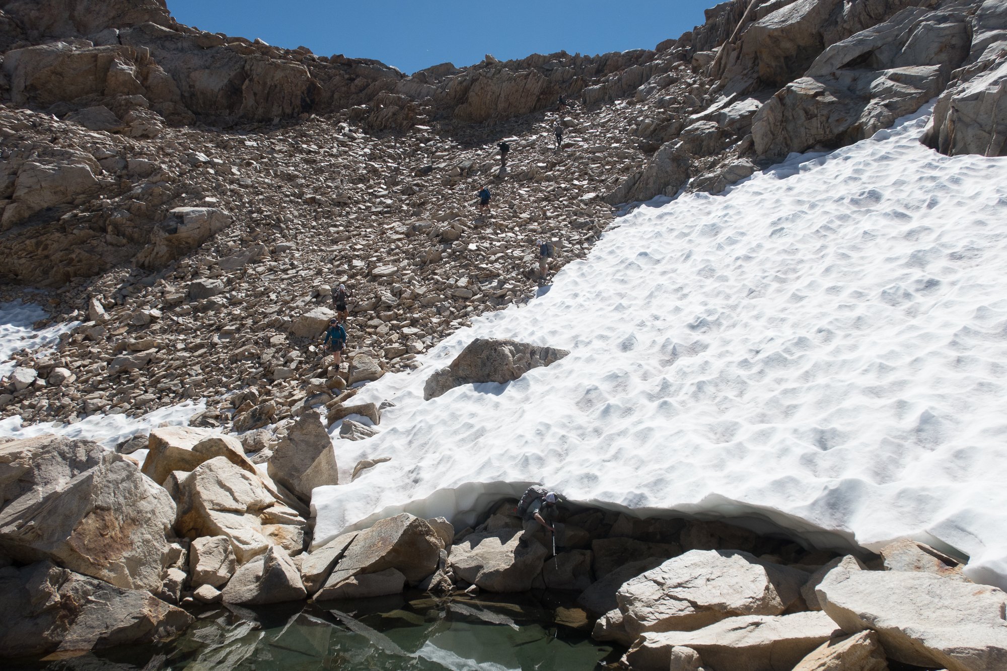
From here - halfway up our second pass of the day (Lion Lake Pass) - you can see where we came from. We started on top of the slope above the background lake. You can follow those two snowfield patches up to roughly where we started.
-
![]()
We squeezed below the snow and above the water to get through this part. Photo via Andrew Skurka.
-
Heading up and then left towards pass 3 for the day - Copper Mine Pass & Peak.
-
Looking back down as I made my way towards Copper Mine Pass. This was some pretty loose rock on a fairly steep slope. I had both hands on the ground most of the time towards the top.
-
Up on the pass looking at the final ~40 feet to the summit.
-
Andrew giving us the lay of the land from the top of Copper Mine Peak (el. 12,345 feet)
-
Looking at it from the top of Copper Mine Peak, the last pass of the day is the low point to the right of that rightward jutting peak in the left midground of this picture.
-
Coming down from Copper Mine.
-
Getting closer. The pass is the saddle in the center of the image.
-
Up on the pass.
-
And then down the other side to camp for day 3.
-
![]()
Photo via Andrew Skurka.
-
Day 4 starts with a climb.
-
After climbing we reach the Tablelands. An aptly named wide ridge at almost 11,000ft.
-
![]()
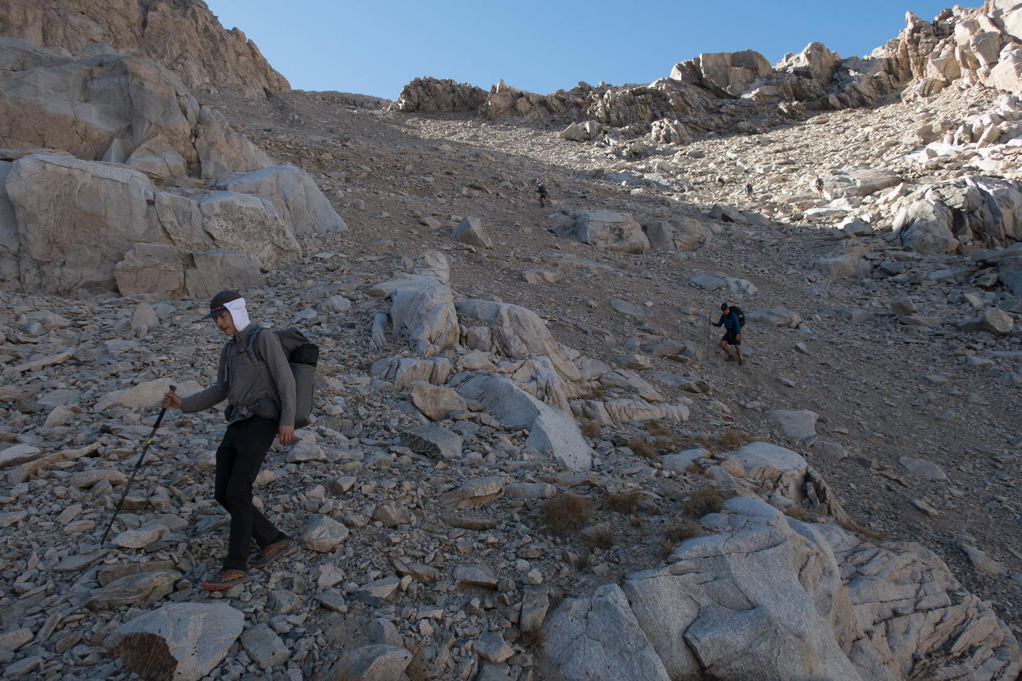
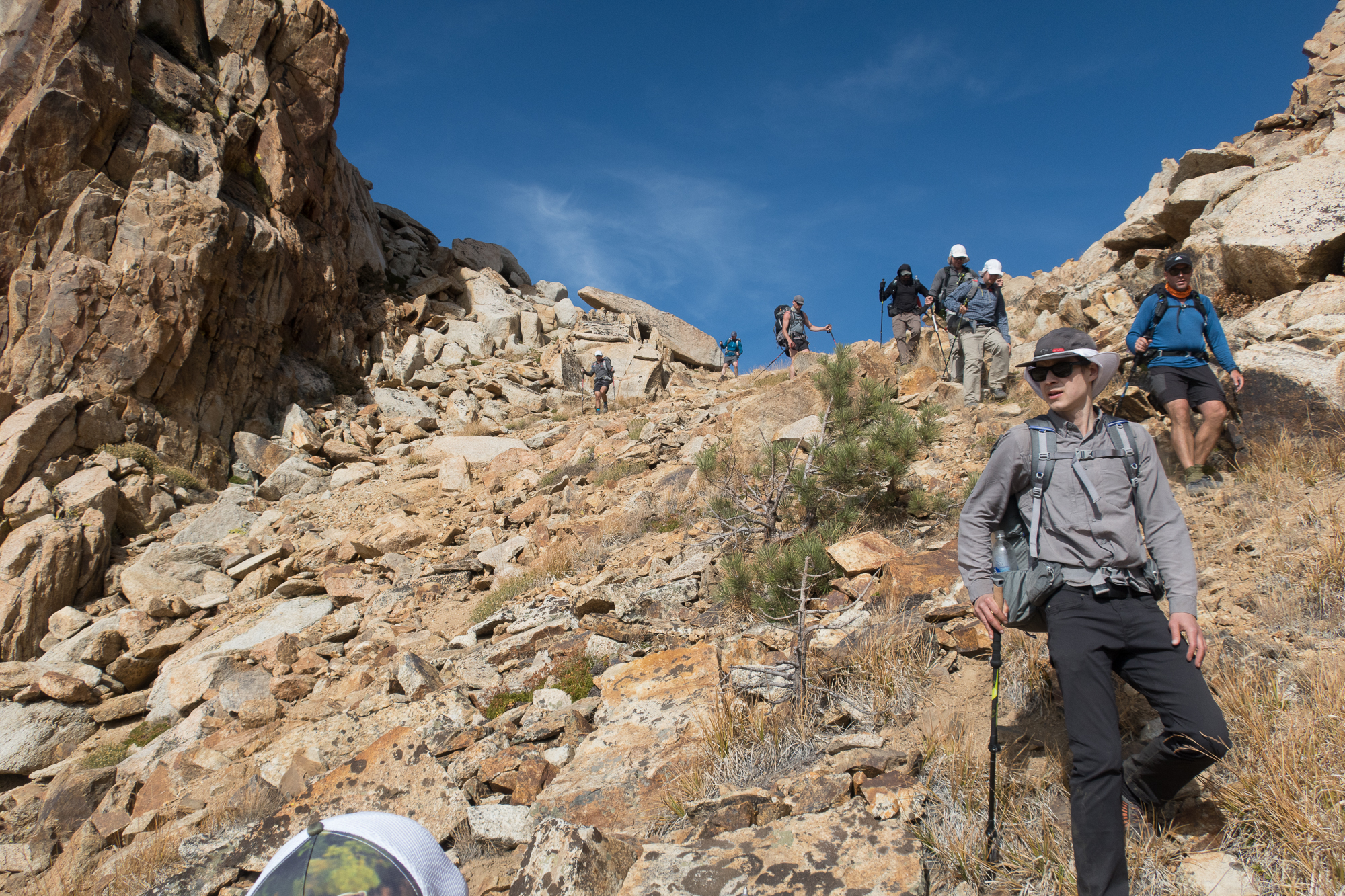
Me (center) descending the from last pass. It was just a lot of loose stuff in this one spot so your handholds were pretty important. Photo via Hunter Hall.
-
![]()
Photo via Andrew Skurka.
-
Down we go. Note the tiny humans coming down the diagonal from the top of the pass to the right.
-
Rejoining the land of the trees.
-
We walked down that slab of granite to the right to arrive at our final campsite in the trees. The next morning we met up with the Twin Lakes trail and hiked out. [the end]
Mileage and Elevation Estimates
I didn't record a GPS track, but another hiker on the trip did. Based on their data and my pedometer here's what I have for mileage and elevation gain.
- Day 1: 13.3mi; 4,027ft
- Day 2: 11.7mi; 5,412ft
- Day 3: 9mi; 3,077ft
- Day 4: 12.2mi; 2,659ft
- Day 5: 3.8mi; 231ft
- Total Trip Mileage: 50.0 miles
- Total Trip Elevation Gain: 15,406ft
We started around 11am on Monday and finished around the same time on Friday, so it was really 4 days of hiking. Thus our average daily mileage was 12.5 miles and the average daily elevation gain was 3,850ft. This was for the High intensity level trip.
Gear
What worked
- Not carrying more than 1L of water most of the time. This made a big difference in my pack weight. I just made sure to drink more than I otherwise would at water sources (which were fairly regular and reliable). I'm fortunate that I don't seem to need much water per mile. It's probably because I only weigh 130lbs and run cool generally.
- My food plan. I really tried to optimize it so I wasn't carrying any more food than I had to. It also allowed me to get away with a BV450 for a 5 day trip rather than the BV500. I ended up right at 125 calories/ounce and 90ish grams of protein per day after trimming some of the less calorically dense foods in favor of seeds, oil and plantain chips.
- 1 trekking pole. I never use trekking poles on trail, but one was useful for non-rocky off-trail stuff — especially when moving from rock to grass/dirt.
- Thermal sleeping shirt. I decided to bring this at the last second. It was worth the 3.8oz. I was warmer at night and my hiking shirt smelled less.
- Labeling bear can stuff. I just made a list on a ziplock of the small stuff (e.g. chapstick, sunscreen etc) that was supposed to go in the bear can each night. It was easier than trying to think of whether I'd put all the small random things in the bear can before I went to sleep. I just went down the list and then threw the bag in the can.
- A dedicated, labeled trash ziplock. This was a such a tiny detail but it was a lot nicer than my usual method of forever creating new trash bags from used ziplocks then drowning in piles of small trash.
What didn't work
- I got cold. I have a 20F Feathered Friends sleeping bag but I think the Sea to Summit UL Insulated pad was the limiting factor. Night time temps only got down to 30F but I was right on the edge of being uncomfortably cold. I sleep cold so I'm not really blaming the gear here. I could have brought a warmer sleeping pad, but I tried to get away with this lighter one. I'm lucky the weather was as mild as it was.
- I got blisters. This doesn't happen to me on trail. I think the new ranges of motion my foot explored with the off-trail stuff resulted in new opportunities for blisters. I will tape on day 1 next time.
- Not knowing the route better. We didn't get route maps until the morning we started the hike, so there was no opportunity to review the route before the trip. But it probably would have helped if I had reviewed the following day's route the evening before at least. Obviously Andrew and Justin always knew where to go, but they almost always made one of us lead.
- My lips got sunburned. A surprising first given it was late September and that it's nothing I've ever experienced in all my hiking in Colorado. Maybe it was the granite?
- My hands got really dry. This happened last time I was in the Sierra too. I have to remember to bring something next time.
Final Thoughts
I loved this trip. I was looking forward to the off-trail travel, but it was even more fun that I expected. I like climbing and it was kinda fun to just bomb up a pass sometimes when you had a clean line to the top as opposed to switching back a dozen times. Off-trail stuff is surprisingly different from hiking on a trail. Trails are constructed (usually) to give you a reasonable grade over a climb. Off-trail travel is just about getting from point A to point B whichever way works. You have to keep in mind what's right in front of you, your middle range goal and your long range goal, but there are often multiple routes that can take you to your destination. Sometimes it was easier (or more fun) to power over and then back down something rather than contour around it. I liked having the option to choose my own adventure. Sometimes I chose wrong, but the terrain was open and clear enough that it just meant adjusting my future line rather than backtracking. I'm eager to incorporate off-trail stuff (in a small way) into my hiking back home.
In addition to being a great adventure this was also a really educational trip. I usually carry a map and compass when hiking, but I basically never use them. I've relied on the GAIA GPS app probably too much in the past. I won't say I got good at taking and transfering bearings from the field to a map (and vice versa), but I can do it reliably now. And I'm more comfortable orienting a map and identifying features and terrain than I was before. I still wouldn't step out into the wilderness without GAIA, but I can at least make better use of my map and compass should my phone fail. That's progress I think.
I'll also add that I was really nervous about this trip in the days leading up to it. I had done my training (I hiked 550 miles in 2018 prior to this), but I just sorta lost confidence that I could pull it off as I made my way to California to begin the trip. Thankfully Andrew and Justin are really nice humans in addition to being exceptional hikers and guides. Once I started walking I quickly felt at ease.
I've done a good amount of hiking, but getting off-trail in the High Sierra was something fundamentally new and different for me. If you're looking for a new hiking adventure I'd highly recommend this trip.

